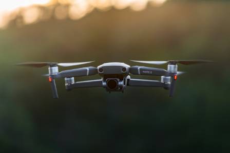
Imagine a painter with an endless palette of colors and a brush guided with surgical precision—this is what happens when artificial intelligence (AI) intersects with drone photography. The synergy between AI and drones is redefining how we capture aerial perspectives, transforming the way we see and interact with the world below.
The challenge lies in blending these advanced technologies in a seamless, intuitive way that enhances aerial imaging while remaining accessible to users. This article delves into the latest innovations in AI-powered drone photography, covering autonomous flight, AI-optimized navigation, and automated panorama generation.
By exploring these developments, you’ll understand how AI is reshaping drone photography—making it more accurate, efficient, and interactive. Whether you are a professional photographer, tech aficionado, or simply intrigued by emerging tech, this guide provides practical insights and inspiration for harnessing the potential of AI-driven drones.
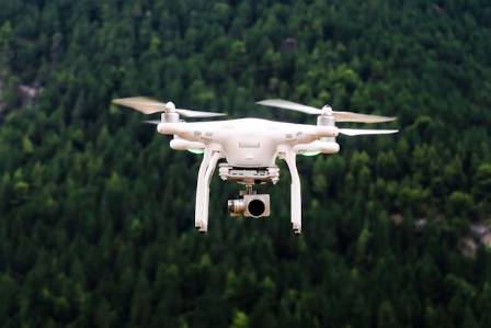
Autonomous Drone Photography
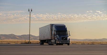
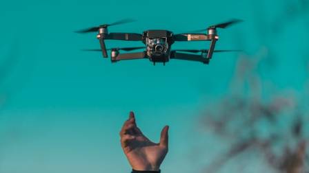
AI-driven autonomous drones simplify complex tasks, allowing aerial images to be captured with minimal human intervention. For instance, the Autel EVO II comes equipped with a variety of intelligent flight modes that automate key aspects of drone operation.
These modes include Manual Flight, Dynamic Track, Parallel Track, Tripod Track, Viewpoint, Orbit, Gesture Control, VR, Precision Flight, Dual Stability, and Intelligent Photo Operation.
Through these intelligent modes, drones can:
Follow moving subjects with precision
Capture smooth orbiting footage
Respond to hand gestures
Deliver immersive virtual reality perspectives
These automated features enhance the user experience by reducing manual workload, allowing photographers to focus on creative composition. The Autel EVO II’s suite of flight modes demonstrates how AI can make capturing breathtaking aerial shots effortless.
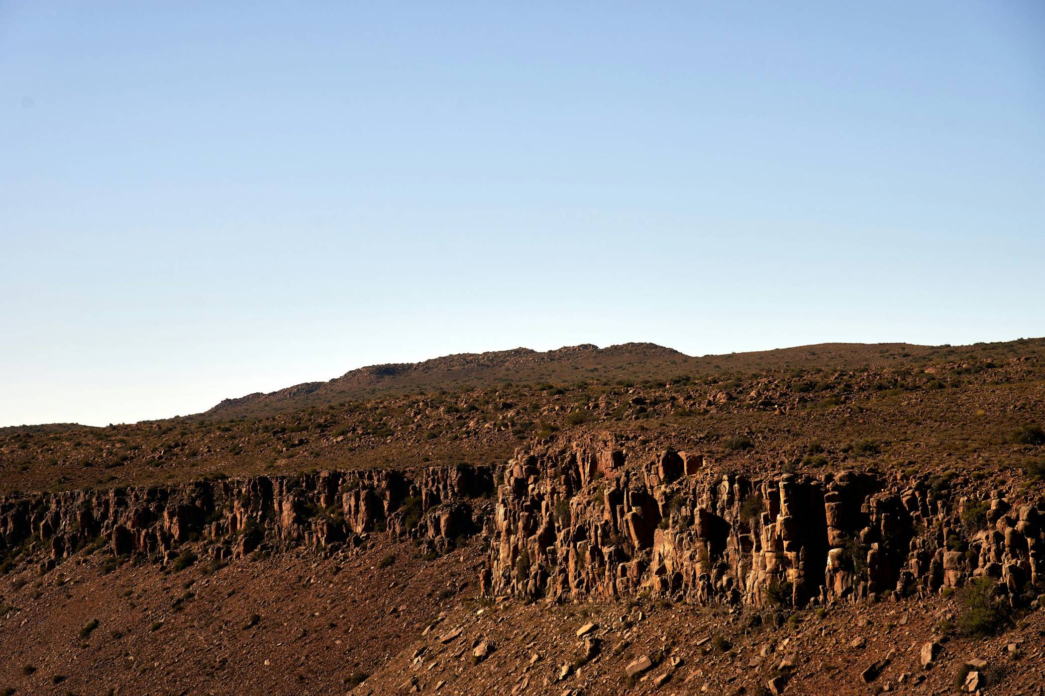
AI Flight Path Optimization
AI-powered flight path planning uses sophisticated algorithms to improve drone movement efficiency and accuracy. Features include gesture recognition, body tracking, face tracking, and 3-axis PID stabilization.
These technologies allow drones to:
Navigate complex environments autonomously
Maintain smooth, consistent flight paths
Track human subjects reliably
Reduce shake and jitter in footage
By employing AI-based tracking and stabilization, drones produce more precise, stable, and professional-quality aerial video while minimizing operator errors. Resources like Advanced Drone Programming – Computer Vision Zone provide in-depth explanations of how these techniques enhance drone reliability and efficiency.
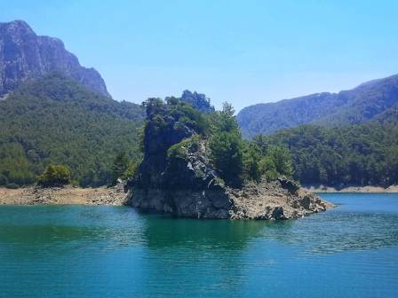
Automated Panorama Generation
Automated panorama creation combines oblique aerial photography with advanced positioning systems and 3D modeling engines to produce immersive panoramic imagery.
This approach has wide-ranging applications, from urban planning and disaster assessment to virtual tourism experiences. By generating interactive 3D panoramas, users can explore realistic virtual environments online. Tools like the Cesium engine and JavaScript enable dynamic interactions in travel applications.
To ensure high-quality user experiences, these applications are assessed using frameworks such as the Mobile Application Rating Scale (MARS), which evaluates functionality, engagement, and information quality. Research into UAV oblique photography in online tourism highlights the transformative potential of this technology for creating rich, interactive virtual travel experiences.
Conclusion
The combination of AI and drone technology is revolutionizing aerial photography. Autonomous flight modes, AI-driven navigation, and automated panorama creation are making drone operation easier, more intuitive, and highly precise.
These innovations not only enhance image quality and interactivity but also expand the practical applications of drones in areas such as tourism, urban development, and disaster monitoring. By integrating AI, drones are becoming smarter, more efficient, and user-friendly—offering entirely new ways to capture and explore our world from above.